|
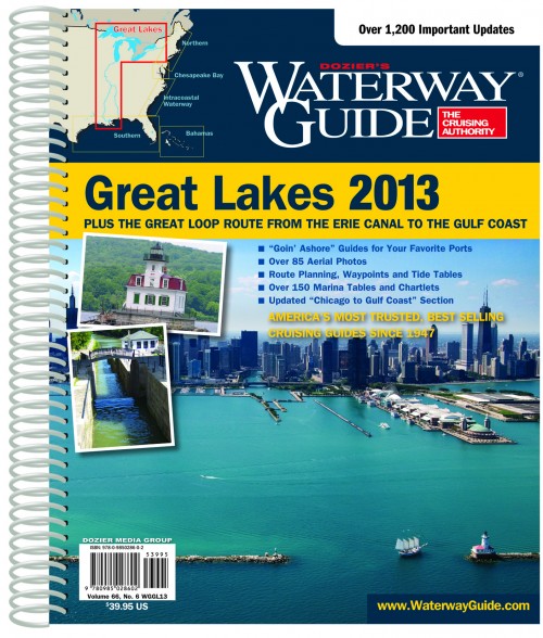
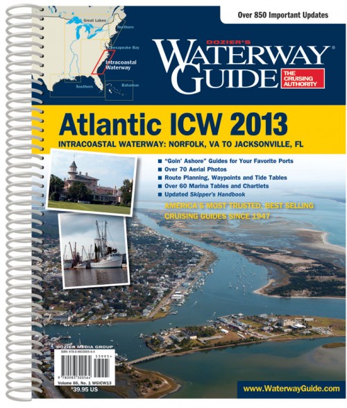
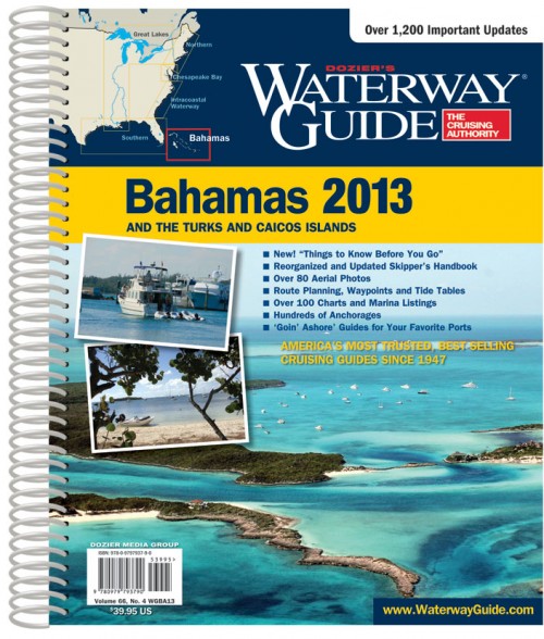
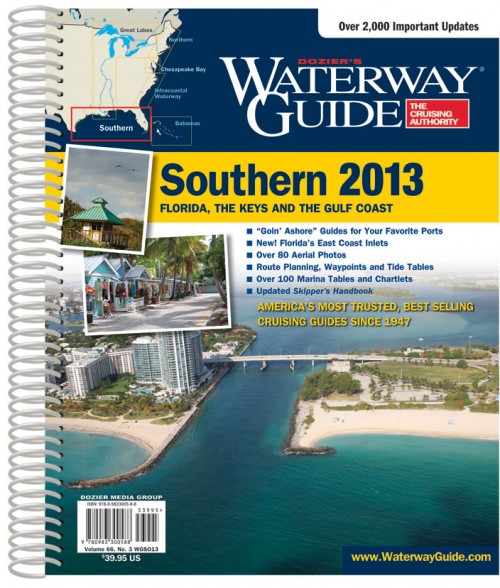
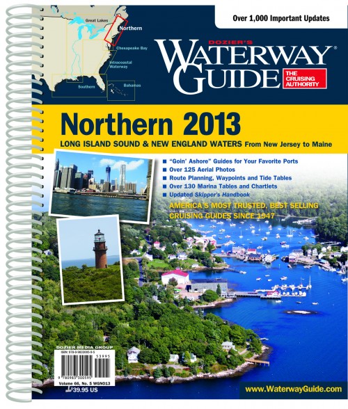
These guides are updated annually and will be labeled for the year published. We always sell the current edition although frankly not that much is going to change from year to year. At the same time you may well find out of date information, which they urge you to report of course. These books are described as providing “mile by mile navigation information” and while that claim is a little inflated they are pretty densely packed with useful information and cautions. There is some aerial photography with marked routes. Marina information is generally paired with snippets of charts showing their locations. There is some information on anchorages, but this is of course confined to popular locations and it is important to remember that along all many of these routes there are countless places that make good places to stop for the night. Where there are major towns there is usually information on any special characteristics, history, or attractions that they may have. We have always found these seem especially compelling when you are just about to get to a particular place. Often you might miss something you’d really like to see if you didn’t have these guides, though at the same time you may find a little dock with a restaurant frequented mostly by fishermen and their families which may never have been discovered by the writers. Also these Guides per force cover only major routes. In many areas you can be deceived by reading the very detailed information about these major routes into thinking there is no motivation for exploring outside of them. Then you will anchor in the entrance to some nameless creek only to be wakened in the middle of the night by a large shrimp boat carefully maneuvering around you and when you bob up a quiet voice calls, “Need anything in town?” That really should be your cue to see if you can follow that creek up to to the town. There probably won’t be a chart, you’ll have to sound your way, and find the channel yourself or guess at the marks. Your reward is likely to be a visit to an unforgettable small town no more than a mile from the main route, where they may still be talking about the last yacht that visited a dozen years ago. The hospitality can be amazing and you may make lasting friendships. This is not to denigrate these wonderful guides but rather to remind you that detailed as they are they can’t cover everything. There is just too much to see and do. GPS waypoints have been added in recent years. There are planning charts, distance tables, bridge tables, etc. These books are spiral bound with laminated covers for at least superficial protection from minor damp when closed. They are profusely illustrated with chartlets, and photographs. There is a lot of advertising in them, which can be very useful. However it is also a good idea to remember that advertisers have influence and there isn’t likely to be any negative information in a book supported by advertising. Nevertheless, these are intensely valuable and no matter how many times I might travel these routes, and I have traveled a fair number of them, I’d want to have reasonably recent editions on board. (tm) (Updated annually. Mile by mile navigation information, aerial photography with marked routes, marina listings with locator charts, anchorage information, articles on ports, GPS waypoints, detailed planning charts, distance charts, bridge tables Spiral bound heavy laminated covers with bookmarking flaps.) Each book $39.95 Dozier’s Waterway Guide Atlantic ICW (Covers the Intracoastal Waterway from Norfolk, Virginia to the Florida border, 420 pages) Dozier’s Waterway Guide Bahamas (Covers the Bahamas and Turks and Caicos, 442 pages) Dozier’s Waterway Guide Chesapeake Bay (Covers Chesapeake Bay, Delaware Bay, and the Delaware, Maryland, and Virginia Atlantic Coast from Cape May New Jersey, to Norfolk Virginia. 472 pages) Dozier’s Waterway Guide Great Lakes (Covers the Great Lakes and the Inland Portions of the Great Loop Cruise from New York to the Great Lakes and from Chicago to the Gulf of Mexico, over 500 pages) Dozier’s Waterway Guide Northern (Covers the Atlantic Coast from Cape May New Jersey through Maine as well as the Hudson River, Long Island Sound and Cape Cod Bay.) Dozier’s Waterway Guide Southern (Covers Florida’s East Coast, the Saint John River, the Okeechobee Waterway, the Keys, Florida’s West Coast, and the Gulf of Mexico coast to Brownville, Texas., 576 pages) |